We measure Africa's flood risk.
We build the sensors, data and models behind every flood score.
A research lab measuring flood risk across Africa.
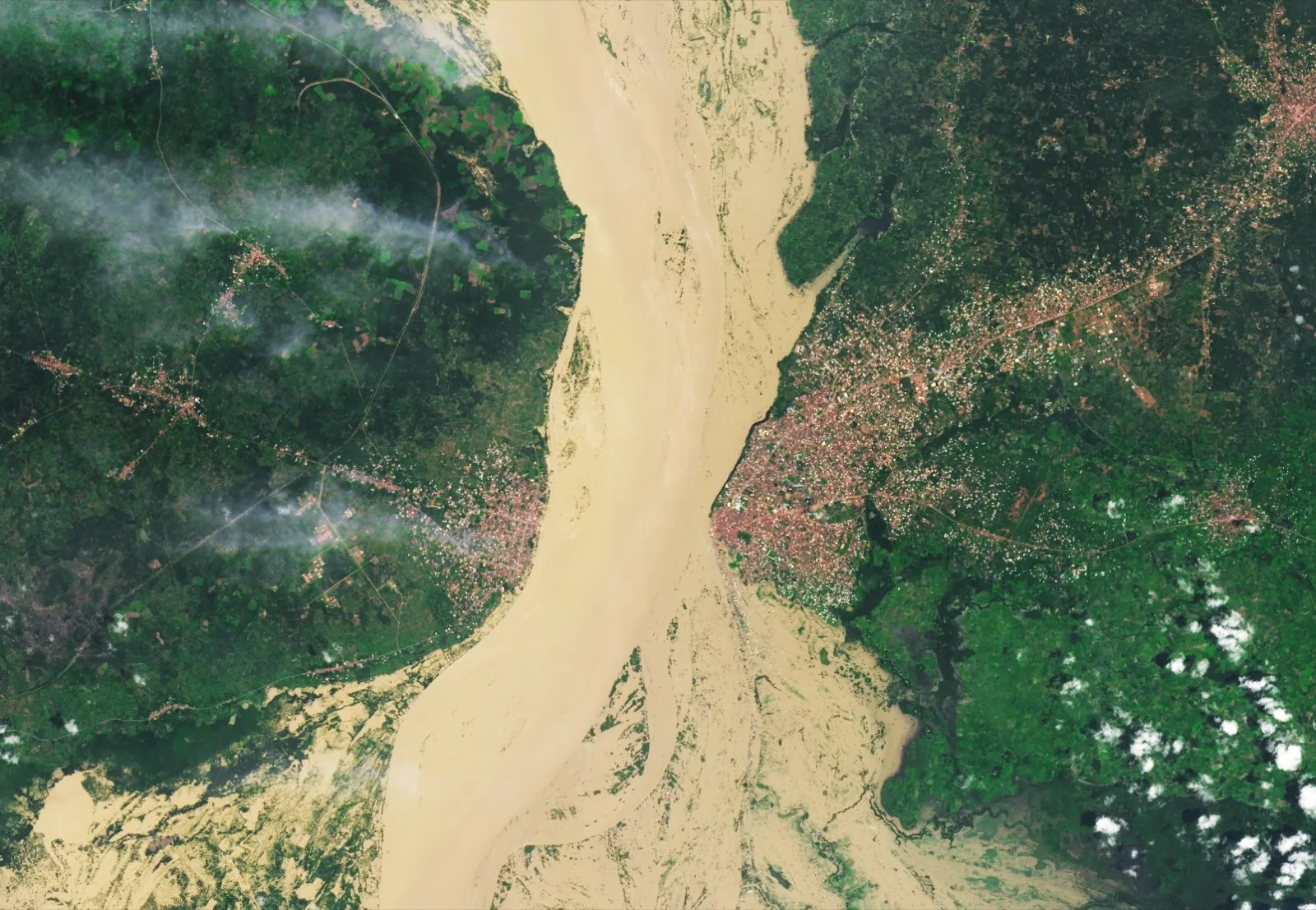
Fig. 1 · What we measure
The catchment, seen from orbit and measured on the ground.
How the lab got here.
A decade of flood-risk data for Nigeria. Now we're adding the sensors.
A decade
A decade of flood-risk metrics for Nigeria
The record every model builds on.
Now
Deploying our own sensors
We're placing our own sensors in the catchment to measure the ground truth.
Next
Wider coverage, sharper calibration
More catchments, more perils, sharper every season.
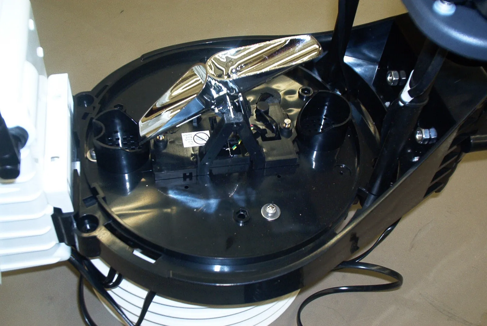
Fig. 2 · The instruments we build
Hardware of our own design, in the catchment.
Three principles, one standard.
01
Physics first.
Every model starts from how water actually moves.
02
Ground truth we own.
Our own sensors measure the flood at the source.
03
Uncertainty, shown.
Every score shows how sure we are.
Building together.
The partners, universities and agencies behind every flood score.











We measure the flood where it happens.
Building the record Africa's flood has never had, one catchment at a time.